
Welcome, Early Adopters!
We are thrilled to be launching the ESII Tool! The tool is fully functional and open to all while we continue to fiddle under the hood. The good news is that we already have really smart users who do a great job of letting us know what works, what doesn’t, and what would be a better idea.

What can you expect as an Early Adopter?
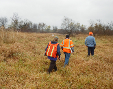
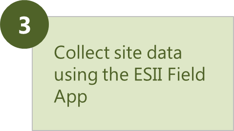
As an Early Adopter, you’re simply taking the time to get to know the ESII Tool while development, testing and updates are ongoing. We’ve created a demo site (called GreenBiz) for you to play with—use the ESII Field App to draw map units and conduct your own ecological field survey, and play in the ESII Project Workspace. Everything you do in this demo site is available to other folks in our Early Adopter community. This means if you draw ten map units today, tomorrow there might be eight, or twenty, and they might even be completely different shapes. But don’t fret, you’ll still get a sense for how the tool will work for you.
During our rollout period, if you would like to keep your map units to yourself, or if you want to set up your own project on your own site, you’ll need to email us at [email protected] so that we can get you started. During March 2016, we will be refining user admin roles – once we have completed that process, you will no longer need to contact us in order to set up your own sites. We appreciate your patience during our rollout!
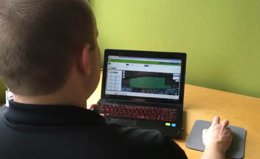
Work with your site data to generate results.
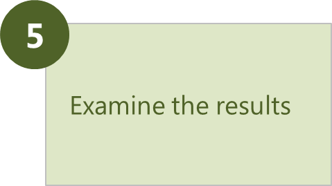
The ESII Project Workspace runs your field data through robust ecological models to generate results so you can understand better how nature is performing at your sites.
The ESII Tool can support multiple activities in your organization:
- Create an inventory of natural assets
- Assist with restoration projects
- Conduct land use evaluations and alternatives assessments (for operations, site expansion, etc.)
- Compare green vs. gray infrastructure
- Scope environmental impact assessments (EIA)
- Support dialogue and engagement with local communities
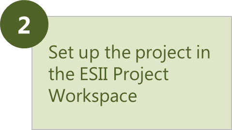
Set up Sites. Review Data. Inform Multiple Decisions.
In a web browser, the Project Workspace allows you to input specific information about your sites so that you’re ready to download base maps and collect field data using the ESII Field App. Once you've collected your field data, it is processed through ecological models and results are generated in the format that works best for you.


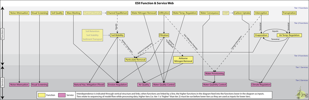
Go Farther with ESII’s Ecological Models
The ESII Tool is based on robust models for ecosystem functions and services.


Why ESII
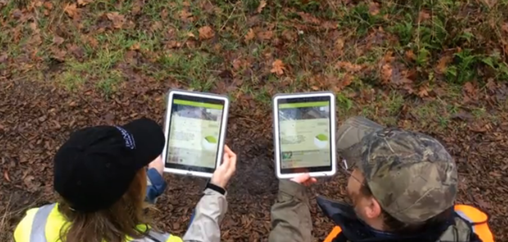

Meet the ESII Field App