The next-generation of ESII is here! Ecosystem Intelligence (EI) is a comprehensive quantification platform for nature-based decisions.

| Survey Question | Landscaped Area: Lawn | |
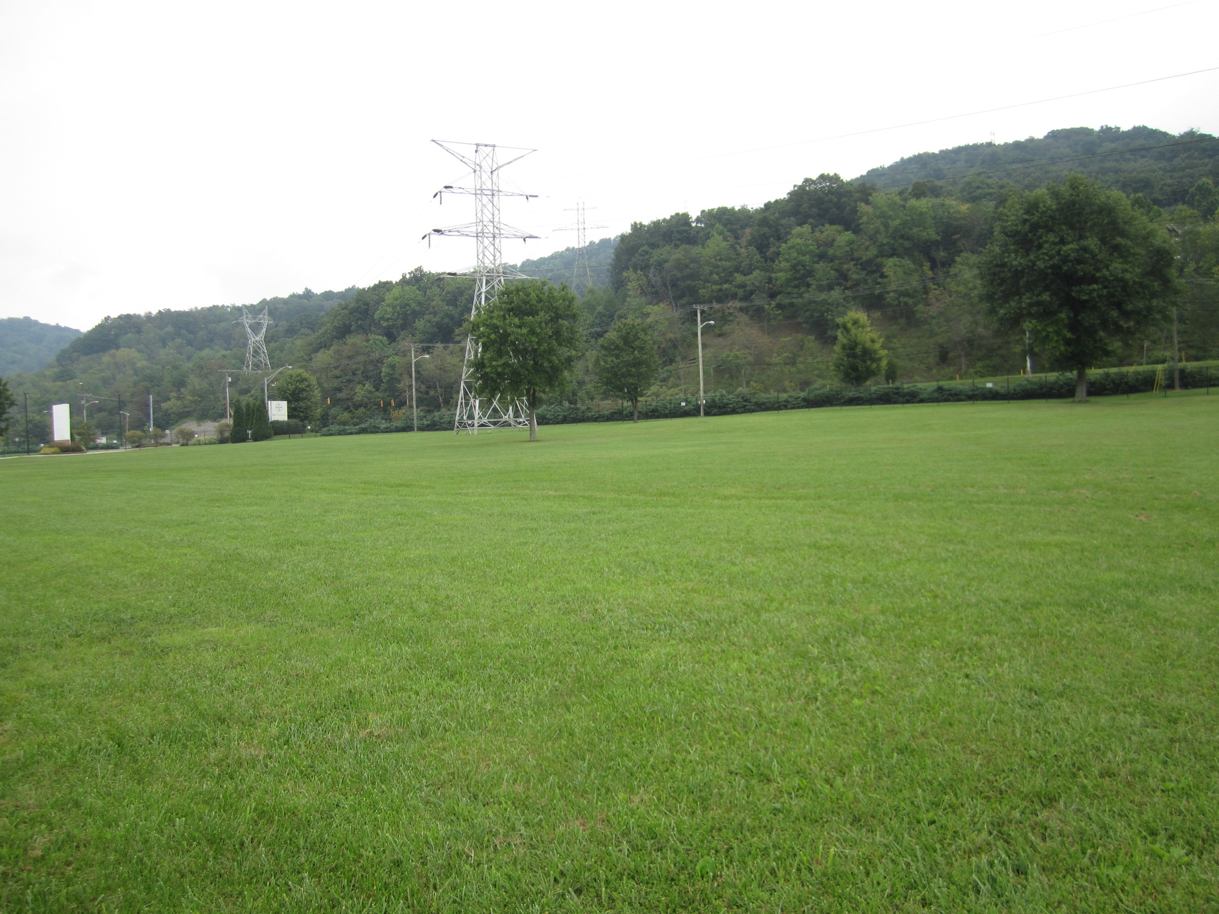
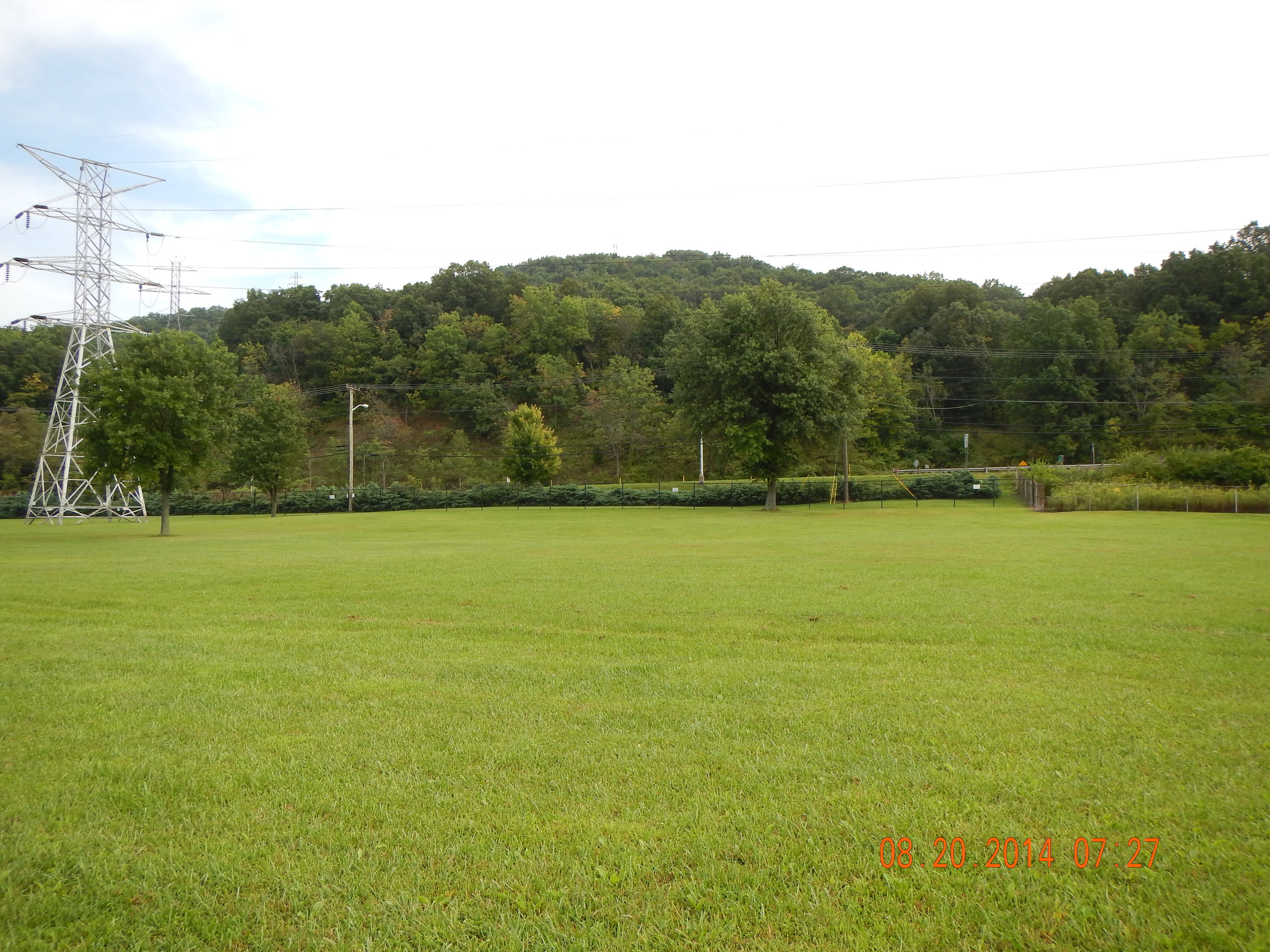
| A lawn is a manicured grass area which is mostly planted (sod) or seeded grass. Lawns would be mowed on a regular basis (≥2 times /year). Responses shown assume well established and maintained lawn conditions with no other vegetation types present (i.e. no trees or shrubs). All attributes are subject to management objectives and design considerations. Highlighted responses require answers specific to each map unit condition (e.g. soil conditions, slope, water regime, etc.) because these conditions are unique to every map unit for this habitat type. | ||
| Survey Response | Considerations | |
| Habitat Type | Developed or Managed | Assumes well established and maintained condition |
| Which of the following best describes the map unit habitat type? Select only one. | Landscaped Areas | Assumes well established and maintained condition |
| Which vegetation type is dominant within the map unit? Select one. | Non-woody, soft and green stemmed plants (grasses, etc.) | Assumes well established and maintained condition |
| What is the average height of the dominant vegetation? | 0-3.5' | Assumes well established and maintained condition |
| What type of shrub or tree is dominant? | Not present | Assumes well established and maintained condition |
| Non-woody, soft and green stems group | 60-90% | Assumes well established and maintained condition |
| Shrub group | Not present/Negligible | Assumes well established and maintained condition |
| Tree group | Not present/Negligible | Assumes well established and maintained condition |
| What is the TOTAL area of the map unit occupied by standing stems and/or trunks of vegetation? | 60-90% | Assumes well established and maintained condition |
| Non-woody, soft and green stems group | >90% | Assumes well established and maintained condition |
| Shrub Group | Not present/Negligible | Assumes well established and maintained condition |
| Tree Group | Not present/Negligible | Assumes well established and maintained condition |
| What is the TOTAL aerial cover within the map unit? | >90% | Assumes well established and maintained condition |
| What is the total aerial cover along the map unit's edge? | <10% | Assumes well established and maintained condition |
| Emergent | Not present/Negligible | Assumes well established and maintained condition |
| Submergent | Not present/Negligible | Assumes well established and maintained condition |
| Floating mats | Not present/Negligible | Assumes well established and maintained condition |
| What is the total cover for all aquatic vegetation (emergent, submergent and floating mat) within the map unit? | Not present/Negligible | Assumes well established and maintained condition |
| What is the dominant material exposed to the sun? | Grass | Assumes well established and maintained condition |
| What percent of the map unit's ground surface is covered by fallen stems/branches that are less than 3 inches in diameter? | Not present/Negligible | Assumes well established and maintained condition |
| What is the average density of the stems/branches? | Not present | Assumes well established and maintained condition |
| What percent of the map unit is covered by litter/duff? | <5% | Assumes well established and maintained condition |
| What is the average thickness of the litter/duff layer? | <1 | Assumes well established and maintained condition |
| What percent of the map unit's surface is exposed (not covered by living or dead vegetation)? | <5% | Assumes well established and maintained condition |
| Which type of natural or man-made materials is most dominant? For aquatic habitats select the bed material. Select one. | Clay (<0.002 dia) | Unique to every map unit |
| Organic material | <5% | Unique to every map unit |
| Clay (<0.002 dia.) | 30-60% | Unique to every map unit |
| Silt (0.002 - 0.05 dia) | 30-60% | Unique to every map unit |
| Sand (0.05 - 0.1) | 10-30% | Unique to every map unit |
| Gravel (0.1 - 4 dia) | Not present/Negligible | Unique to every map unit |
| Cobble (4 - 10 dia) | Not present/Negligible | Unique to every map unit |
| Rocks (10 - 24 dia) | Not present/Negligible | Unique to every map unit |
| Boulders (>24 dia) | Not present/Negligible | Unique to every map unit |
| Bedrock | Not present/Negligible | Unique to every map unit |
| Man-made pervious/porous surface | Not present/Negligible | Unique to every map unit |
| Man-made impervious surface | Not present/Negligible | Unique to every map unit |
| Unknown/Other | Not present/Negligible | Unique to every map unit |
| What percent of the map unit contains microtopography? | Not present/Negligible | Assumes well established and maintained condition |
| What percent of the map unit's area is made up of depressional areas (areas greater than 6 inches in depth relative to surrounding surface)? | Not present/Negligible | Unique to every map unit |
| What is the slope (gradient) of the map unit? Select the predominant slope where multiple slopes are present. | <3% | Unique to every map unit |
| If <3% (1-2 degrees) is selected AND the map has flowing water (i.e., stream or river), then select one of the following. If flowing water is NOT present, select 1-2% (1-1.5 degrees). | 1-2% | Unique to every map unit |
| If there is a predominant slope, what is the longest length of the map unit along the fall-line? | 20-30' | Unique to every map unit |
| How permeable is the soil? | Low (mostly clay or silt with some sand) | Unique to every map unit |
| Does the map unit become saturated or inundated over the course of a normal year? | No | Unique to every map unit |
| If the map unit is saturated or inundated during the course of a normal year, is the saturation or inundation occasional, seasonal, or permanent? | None | Unique to every map unit |
| If the map unit is saturated or inundated during the course of a normal year, what percent of the map unit is affected by saturation or inundation (this may be based on local knowledge of the site)? | Not present/Negligible | Unique to every map unit |
| If the map unit is saturated or inundated during the course of a normal year, what is the salinity regime? | None | Unique to every map unit |
| If the map unit is saturated or inundated during the course of a normal year, what type of water motion is present? | None | Unique to every map unit |
| What is the average bankfull width for the map unit? | 0 | Does not typically apply to this habitat type |
| What is the average bankfull height for the map unit? | 0 | Does not typically apply to this habitat type |
| What is the average Ordinary High Water (OHW) width for the map unit? | 0 | Does not typically apply to this habitat type |
| What is the average height to Ordinary High Water (OHW) for the map unit? | 0 | Does not typically apply to this habitat type |
| Is the map unit within a low, medium, or high sinuosity (degree of curve or bend) system? | NA | Does not typically apply to this habitat type |
| What is your level of certainty for the stream dimension measurements? | NA | Does not typically apply to this habitat type |
| What percent of the map unit contains open water that is free of vegetation or other obstructions? | Not present/Negligible | Does not typically apply to this habitat type |
| When water is present, what is the predominant depth? | Not present | Does not typically apply to this habitat type |
| What area of the map unit is made up of, or affected by, a seep or spring? | No seep or spring present | Unique to every map unit |
| Are surface sheens (iridescent or rainbow-like films) present? | No | Unique to every map unit |
| Are the surface sheens natural (from bacteria) or unknown? | NA | Unique to every map unit |
| Is the map unit adjacent to a developed area (industrial plant, road, ag. field, etc.)? | Yes | Unique to every map unit |
| Is the map unit adjacent to areas of permanent open water? | No | Unique to every map unit |
| What direction is the center of the map unit from the adjacent open water area? Select all that apply. | NA | Unique to every map unit |
| What percent of the map unit shows evidence of any type of recent manmade VEGETATION disturbance? | >90% | Unique to every map unit |
| What percent of the map unit shows evidence of manmade SOIL disturbance? | Not present/Negligible | Unique to every map unit |
| Of the disturbed area, what percent of the soil disturbance is due to compaction (from vehicle traffic, construction, agriculture, etc.)? | Not present/Negligible | Unique to every map unit |
| Of the disturbed area, what percent of the soil disturbance is due to conventional tillage practices or comprised of over-turned (bladed) soil? | Not present/Negligible | Unique to every map unit |
| What is the relative elevation of the map unit? That is, is it higher or lower than surrounding map units? | Lower | Unique to every map unit |
| On average, what is the height difference from surrounding map units (difference from ground level)? | < 7' | Unique to every map unit |
| What is the degree of screening provided by foliage within the map unit? Assume that this is being estimated at a time when leaves are present. | Bare | Assumes well established and maintained condition |